
Not sure where to start? Talk to our support team live.
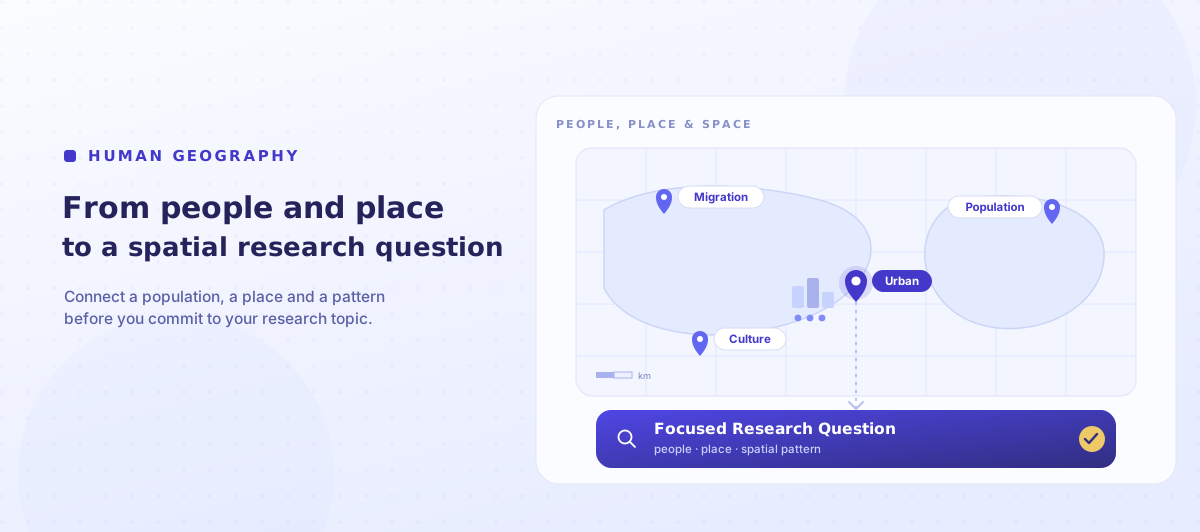
A stylised map with a coordinate grid and themed location pins — migration, culture, population and an urban focus with people and buildings — narrowing to a focused spatial research question.

Geography & Research Topics

Human Geography Research Topics & How to Choose One

Looking for a human geography research topic? This guide gives ideas across urban, migration and population, cultural, economic, political, health and environmental geography — and shows how to turn a broad interest in people and place into a focused, feasible spatial research question.

  • Category: Geography & Research Topics
  • 7 min read
  • Updated 2026-08-20

The short version

Quick answer

A strong human geography research topic connects a social process to a specific place and scale, and to evidence you can realistically gather — census data, GIS, documents or fieldwork. The best ideas start broad, then narrow to a defined population, place and spatial pattern so you can turn them into a focused, feasible research question.

Start here

What makes a good human geography research topic?

Human geography is the study of people in place — how societies, economies and cultures shape, and are shaped by, space. That breadth is the problem: “migration” or “cities” could fill a career, not a dissertation. Our geography assignment support is built around helping you plan and review your own research rather than writing it for you, and the same principles apply whatever you study. A strong human geography topic is:

  • Spatial — place and scale matter to the question, not just the subject.
  • Concept-led — it connects to a geographical idea (place, scale, mobility, inequality, sustainability), not just a theme.
  • Anchored in a population and place — a defined group and a defined location or region.
  • Evidence-feasible — you can reach the data, maps or people you would need, ethically.
  • Answerable — its scale and scope fit the word count and the method.

Below you will find ideas by subfield, then the process that turns any of them into a defensible research question.

The essential skill

How to turn a broad interest into a spatial research question

A subject like “urbanisation” is a global process, not a question. Narrowing means adding a concept, a population and place, a scale, and a feasible method until you have something answerable. Scale is the distinctively geographical move — the same issue looks different at street, city and national level. Work through it in stages:

From broad interest to a spatial question

Broad interestUrbanisation
Geographical conceptAccess to urban green space and inequality
Population & placeResidents across neighbourhoods in one city
Evidence / methodCensus and open geospatial data, mapped in GIS
Research question“How does access to green space vary across neighbourhoods in [city], and how does it relate to deprivation?”

Before committing, test the question against five things: a clear concept, a defined population and place, an appropriate scale, a feasible method (secondary data, GIS, or ethically sound fieldwork), and scope that fits the word count. The example above is a teaching illustration — your analysis must be your own. For turning maps and figures into argument, see our guide on description vs analysis.

Check the brief first

Before choosing a topic, check what your brief actually asks for

Brief Decoder breaks your assignment or dissertation brief into clear requirements — task, scale, methods expectations and marking criteria — so you can test an idea against what is actually assessed before you invest in it.

Decode My Brief

Ideas by subfield (1 of 2)

Topic ideas: urban, migration, cultural and economic geography

Use these as starting points, then narrow the one that fits your brief using the process above.

Urban geography

  • How access to green space varies across neighbourhoods in one city.
  • Gentrification and displacement in a defined district, read through census change.
  • The geography of the “15-minute city” idea applied to one town.
  • Studentification: how a student population reshapes a local area.

Migration & population

  • Internal migration and regional inequality within the UK.
  • How a migrant community builds belonging and place in one city.
  • Counter-urbanisation: who moves to rural areas, and why.

Cultural geography

  • How a place’s identity is represented and contested (murals, festivals, branding).
  • The geography of a subculture or scene in one city.
  • Memory and landscape: how a site is remembered and commemorated.

Economic geography & development

  • The uneven geography of a specific industry’s decline or growth.
  • High-street change and the geography of retail in one town.
  • Regional development policy and its spatial effects.

For UK spatial data, the Office for National Statistics (including the census) and Ordnance Survey open data are essential, and the Royal Geographical Society offers strong guidance on geographical research.

Ideas by subfield (2 of 2)

Topic ideas: political, health, transport, environment and digital geography

Political & social geography

  • The geography of a vote: how one issue mapped onto a local result.
  • Spatial inequality in access to a public service in one region.
  • How a boundary or border shapes everyday life for a community.

Health geography

  • The geography of access to a health service across a city.
  • Environment and wellbeing: green space and mental health in one area.
  • Spatial patterns in a health outcome, using open data.

Transport & mobility

  • Transport poverty and access to jobs in a defined area.
  • How active-travel infrastructure changed movement in one district.
  • The commuting geography of a town before and after a change.

Environmental & sustainability geography

  • Community responses to flood risk in a specific place.
  • The local politics of a renewable-energy development.
  • Urban heat and who is most exposed within one city.

Digital, smart cities & tourism

  • How a “smart city” initiative reshaped one urban space.
  • The geography of short-term lets and their effect on a neighbourhood.
  • Overtourism and place: managing visitor pressure in one destination.

Much of this is answerable with secondary and open data, which is often more feasible than fieldwork. If your interest leans toward the physical or human–environment side, our environmental science topic ideas and our sociology topics guide cover the same narrowing method from neighbouring angles.

Before you commit

Check the topic is feasible before you commit

An exciting geographical question is still a bad dissertation if you cannot reach the evidence at the right scale. Before you build a study around a question, check it honestly:

  • Data and scale. Does the data exist at the scale you need? Census and open geospatial data are rich at some scales and thin at others.
  • Method fit. Does your question suit GIS and secondary data, or does it genuinely need fieldwork, interviews or a survey — and can you do that well?
  • Ethics. If your work involves people directly, consent, safety and your university’s ethics process apply, just as in any social research.
  • Scope. A defined place and scale keep the question answerable — and, as our guide to why more sources is not the answer shows, depth beats breadth.
  • Significance. Be able to say why the pattern matters and what debate it speaks to.

A narrower question you can map and evidence will always beat a sweeping one you can only describe.

Test your idea

Found a topic? Check it fits the brief before you design your study

Use Brief Decoder to clarify the task, scale and marking expectations, then shape your own research question and method around what the assignment actually requires.

Try Brief Decoder

Why us

How My Perfect Writing supports geography students ethically

My Perfect Writing helps UK geography students understand their brief, plan their own research, review their own drafts and understand feedback — while the analysis, mapping and writing remain entirely their own.

Understand your own brief

Brief Decoder helps you identify the task, scale, methods expectations and criteria before you choose or narrow a topic.

Review your own draft

Once you have written your own work, Marker’s Eye reviews structure, argument and use of evidence against marking expectations. It does not write or rewrite it.

Understand returned feedback

Feedback Decoder helps you turn supervisor or marker comments into clear, specific actions on your own work.

Plan data and fieldwork responsibly

We help you think through feasibility, scale and research ethics — your data collection, mapping and analysis stay yours.

You stay the author

Your analysis, maps and final writing remain your own; support is focused on clarity, planning and review.

Start with the free resource

Use the free Research Topic & Feasibility Planner to test an idea before you commit.

You stay the author of your own research — our tools help you understand, plan and review it, they do not do it for you.

Questions

Frequently asked questions

What makes a good human geography research topic?
A good topic connects a social process to a specific place and scale, and to evidence you can realistically gather — census data, GIS, documents or ethical fieldwork. It should be genuinely spatial: place and scale must matter to the question. “Urbanisation” is a process; “How does green-space access vary across neighbourhoods in one city?” is a researchable topic.
How do I narrow a broad geography topic?
Add a concept, a population and place, a scale, and a feasible method. Move from “migration” to a group, a city, a scale (neighbourhood or regional) and a method (census analysis or interviews). Scale is the key geographical move — the same issue looks different at street, city and national level. Keep narrowing until it is answerable.
What data sources can I use for a human geography dissertation?
For UK spatial work, the Office for National Statistics (including the census) and Ordnance Survey open data are core, and the Royal Geographical Society offers research guidance. Much of human geography is answerable with secondary and open data mapped in GIS, which is often more feasible and lower-risk than primary fieldwork.
Do I need GIS or fieldwork for a human geography topic?
Not always. Some questions suit GIS and secondary data; others genuinely need fieldwork, interviews or a survey. Choose the method your question requires and that you can do well in the time available. Secondary and open data avoid some ethical and logistical hurdles, so they are often the most feasible route for a student project.
What scale should my human geography study use?
Match the scale to your question and data. A street or neighbourhood scale gives depth and manageable data; a city or regional scale suits comparison; a national scale can be too broad for a dissertation. Because patterns change with scale, state your scale explicitly and justify it — it is a central part of geographical reasoning.
How narrow should a human geography research question be?
Narrow enough to answer with the data, scale and word count you have, but broad enough to connect to a real geographical debate. A useful test: if you can name the concept, the population, the place, the scale and the method, it is probably focused enough. If any is missing, keep refining before you start.